A Tour du Mont Blanc photo diary, from Courmayeur to Chamonix
By Shelly L. Ewald, Senior Partner (Washington, DC)
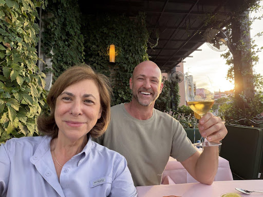
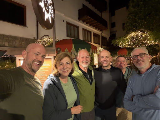
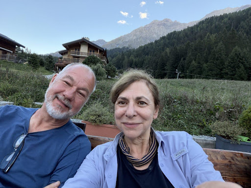
The plan, as originally pitched, sounded lovely: one of our friends was turning fifty, and to celebrate he organized a trek on the Tour du Mont Blanc for a group of friends and their wives. Then, one by one, the wives discovered urgent and deeply important reasons to be elsewhere. When the dust settled, the roster was my husband, Peter Stapleton; the birthday boy and his brother; two friends; and me. I was the only woman who showed up.
I should also explain the company. The men are almost all former Navy, serious backcountry hikers, and a couple are complete gym rats. They speak of “elevation gain” the way I speak of evidentiary rules and concurrent delay. I, on the other hand, am a construction lawyer whose usual idea of a summit is getting the last parking spot on the top floor of the parking garage at Dulles Airport. What could possibly go wrong?
Background: The Tour du Mont Blanc
The Tour du Mont Blanc, known on the trail as “the TMB,” is a loop of roughly 105 to 110 miles (about 170 kilometers) around the Mont Blanc massif. It passes through France, Italy, and Switzerland. Hikers who complete the full circuit climb and descend about 33,000 feet (roughly 10,000 meters) each way. That is more than the height of Mount Everest, in both directions. Most people take 10 to 11 days to walk the full loop.
People have been walking around this mountain for a very long time. Shepherds, traders, and smugglers used its high passes for centuries to move between the valleys long before anyone hiked for fun. The first recorded tour of the massif is generally credited to Horace-Bénédict de Saussure, a Genevan scientist who circled Mont Blanc in 1767 while scouting for a route to its then-unclimbed summit. Years earlier, he had offered a reward to the first person to reach the top. Jacques Balmat and Michel-Gabriel Paccard claimed it on August 8, 1786, an event often treated as the birth of modern mountaineering. The TMB eventually became a formally waymarked long-distance trail.
The TMB has become one of the most popular hut-to-hut hikes in the world. Estimates vary widely, but the regional Espace Mont-Blanc body put the number of hikers on the trail in 2025 at around 75,000, many of whom, like me, walked only part of it. Reports for 2026 indicate a sharp rise in numbers with an estimated 90,000 hikers.
Due to concerns about the impact of its popularity, French authorities tightened the rules for the 2026 season, and a much broader requirement to book every night ahead is planned for 2027. So far, the restrictions target overnight stays (wild camping, bivouacking, and luggage transfers), not the number of hikers on the trail. There is no permit system or daily cap on the full route. So, if this sounds like your type of fun, be prepared to book a year in advance and carry your pack the whole route, which is what our crew did.
Prologue: Milan
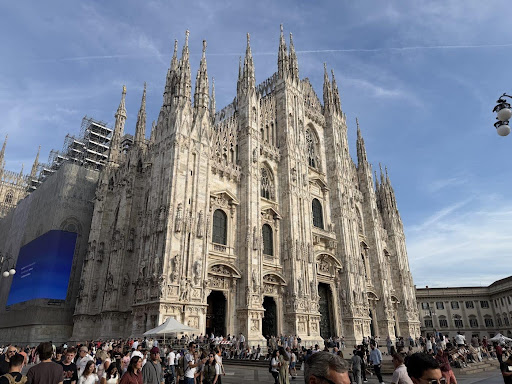
Most of the group hiked the entire loop, but my schedule (and, if I am honest, my quadriceps) had other ideas. I flew into Milan, met up with another hiker, and allowed myself one last afternoon of gelato and cathedrals before heading to Courmayeur, Italy, at the foot of Monte Bianco.
The Route at a Glance
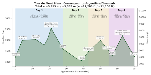
For those who like numbers (looking at you, Navy), here is what four days in the Alps looks like on paper. Given the ongoing confusion between meters and feet, the crew chief directed that we all refer to “freedom units” when discussing elevation change.
Day 1: Courmayeur, Italy, to La Fouly, Switzerland
We set off from Courmayeur under a sky so blue it looked edited. The trail climbs up the Italian Val Ferret and then crosses the Swiss border, which means that on day one I hiked from one country into another on foot. I mentioned this achievement to the group several times. They had, of course, already done it.
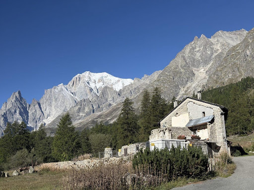
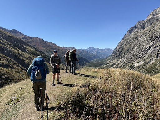
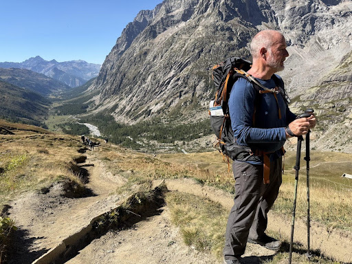
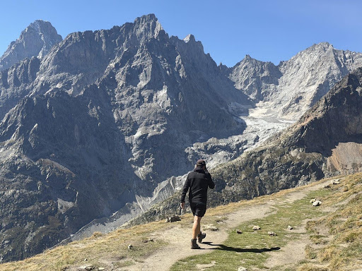
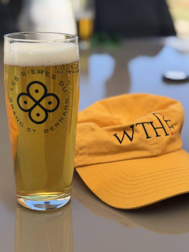
That night we stayed at the Auberge des Glaciers in La Fouly, where I learned that a cold Swiss beer after a day on the trail is the finest beverage known to humankind.
Day 2: La Fouly to Champex-Lac
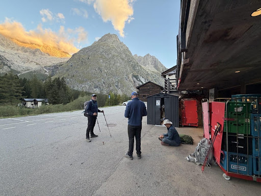
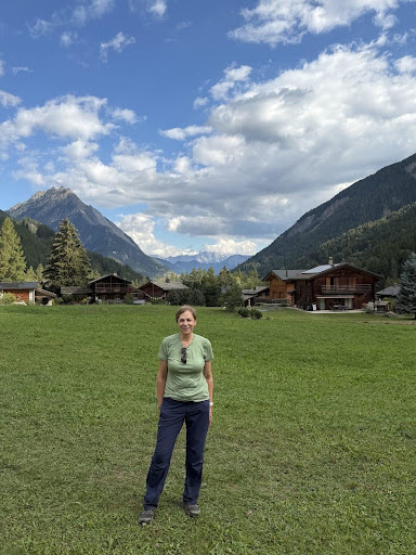
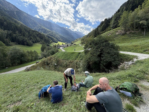
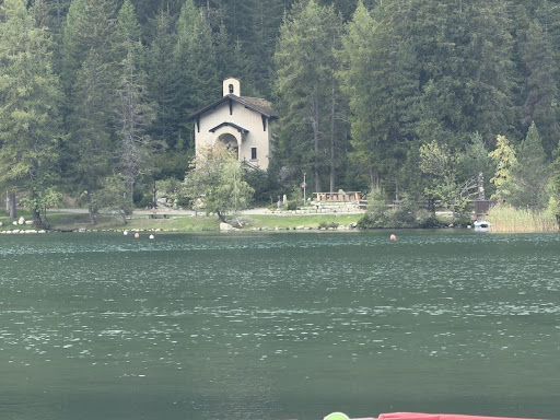
Day two was a postcard come to life: Swiss villages with flower boxes, wooden chalets, green valleys, and rolling hills. The walking was gentler, which gave me just enough breath to talk, until the long arduous climb to Champex-Lac, a mountain lake town.
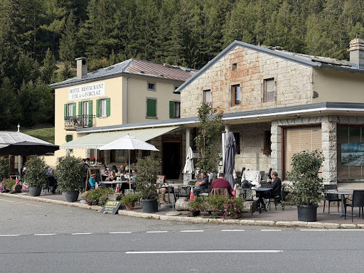
Day 3: Champex-Lac to Col de la Forclaz
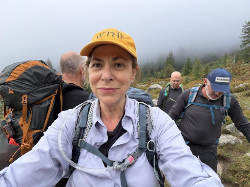
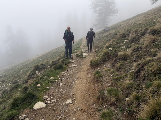
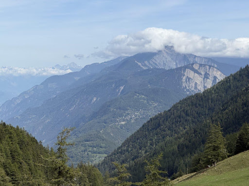
On day three the weather decided to keep things interesting. We climbed into the clouds, and the views were replaced by fog, damp, and the rhythmic clicking of trekking poles somewhere ahead of me. Also, the sound of cowbells was a constant background noise as everywhere on the trail. When I expressed doubts that the trail was meant for human use, some young Chinese hikers agreed with me that cows and fog are considered ‘heavenly bodies’ at home. Then the clouds lifted, and the valleys opened beneath us.
Day 4: Col de la Forclaz to Argentière, and Back to Chamonix
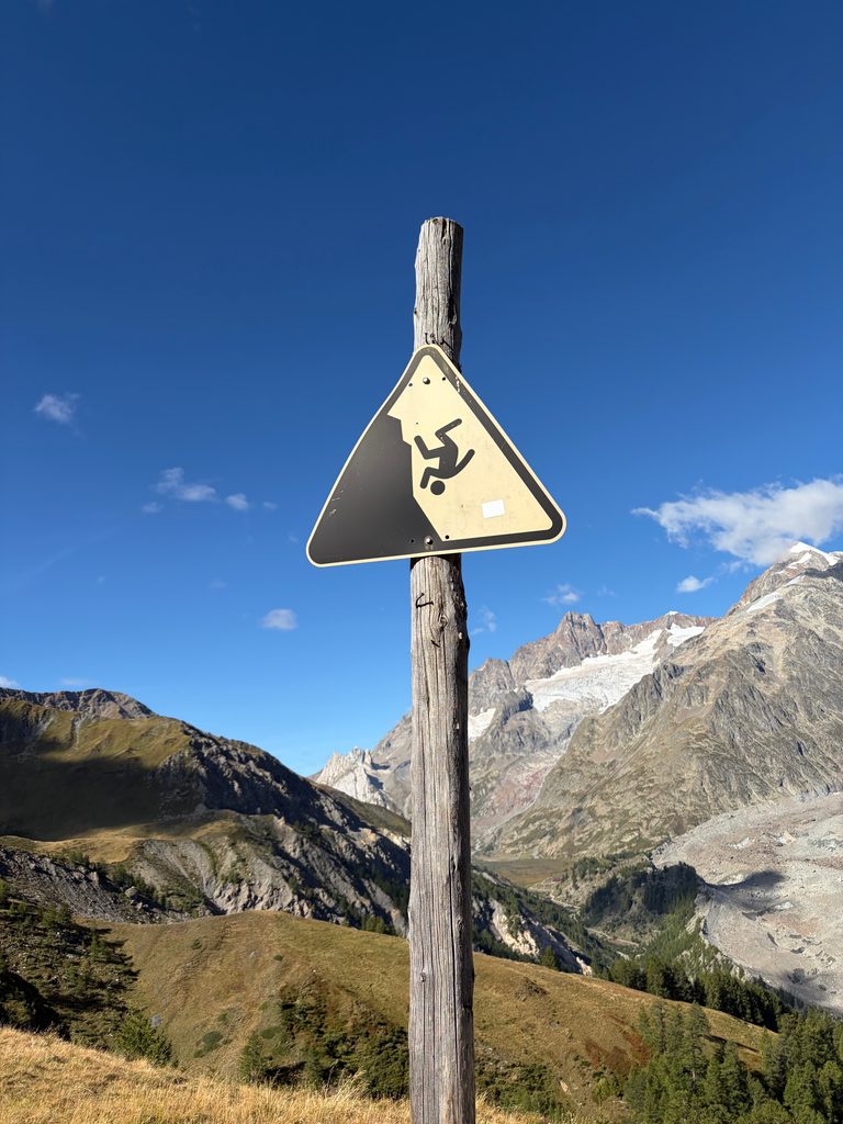
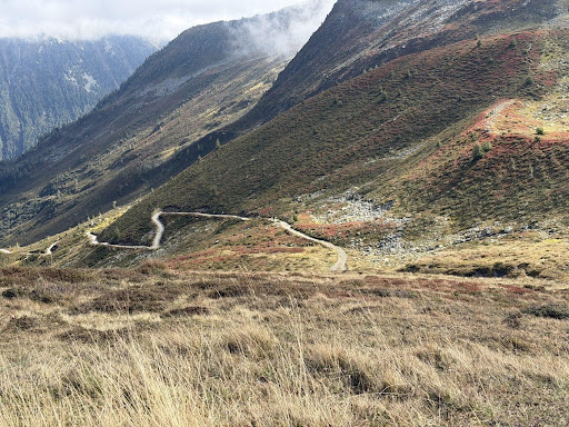
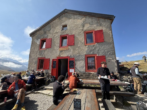
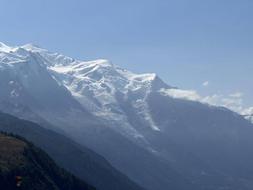
The last day took us up and over into France, across high open slopes with the trail switchbacking ahead for miles and miles. We stopped at a mountain refugio with bright red shutters for a break, then caught our first full view of the Mont Blanc massif from the French side. We finished our trek in Argentière and took the bus back to Chamonix, for some well-earned wine and charcuterie.
The Verdict
Four days, three countries, and one very patient group of hikers. I did not become a Navy veteran, a backcountry expert, or a gym rat along the way, but I did walk from Italy through Switzerland and into France on my own two feet, and I kept up (mostly). The sheer physical beauty of the Alps and the challenge of the trail added up to one of the most wonderful experiences I have had. To the birthday boy, thank you for organizing it. To the wives and partners who stayed home, you missed a great trip. Next time, I am saving you a spot at the back of the line with me.
Postscript: Oktoberfest
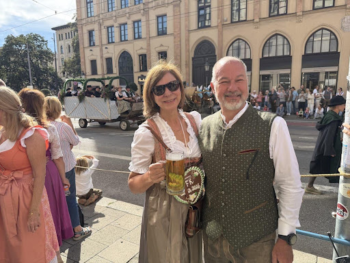
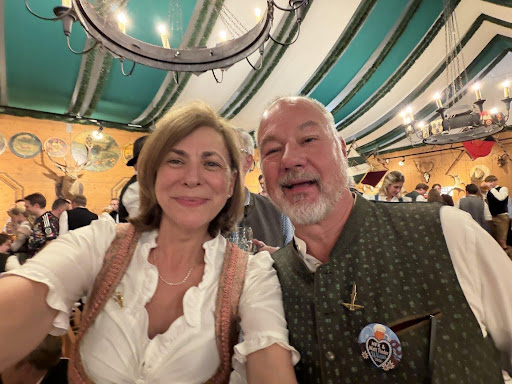
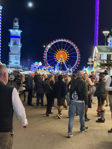
Having earned it, Peter and I recovered in the only appropriate way: in lederhosen and a dirndl at Oktoberfest in Munich, in honor of Jack Tieder and our promise to keep up the firm tradition!